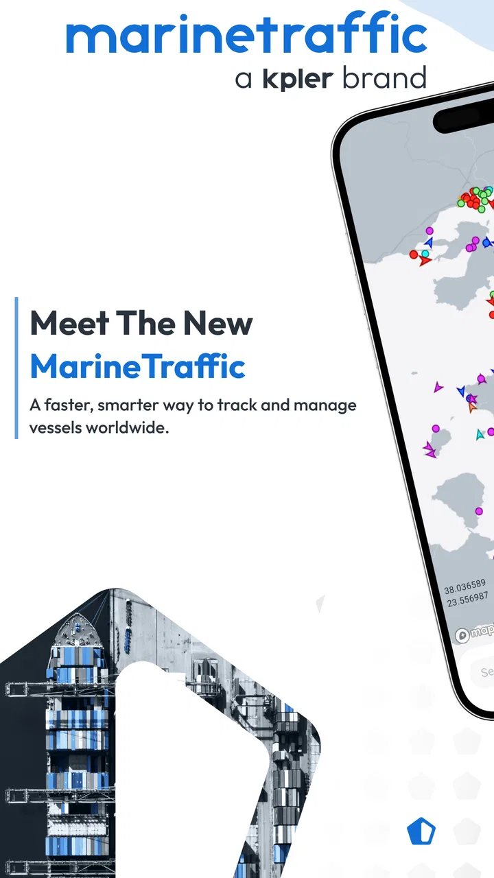
MarineTraffic - Ship Tracking
- 2.9
- Rating
- 10.00M
- Installs
- Free
- Price

 Analysis by App-foxy
I use MarineTraffic when a normal map is not enough and I need to understand what is happening on the water. A road-navigation app can show a harbor entrance or a coastline, but it usually cannot answer the practical question: which vessel is approaching, where did it come from, and what might arrive next? This app is built around that missing layer. It is a free marine tracking app from MarineTraffic Applications, with optional purchases ranging from $0.99 to $94.99 per item.
My first impression was that it feels more like a working instrument than a casual travel app. The map is the starting point, but the useful part comes from selecting a vessel, reading its identity and movement information, and then connecting that view with a real decision. That decision might be checking a ferry before leaving home, following a ship connected to a port visit, or simply understanding why a harbor looks busy from shore.
The app has been available since December 18, 2012, and its audience is clearly established: it has passed five million installs, with a 4.7 average from around 123 thousand ratings and roughly 3.8 thousand written reviews. Those figures matter less than the workflow itself, but they do suggest that this is not a novelty map that people open once and forget.
You May Also Like

 Blood Strike: 2.5 Anniversary
Blood Strike’s Loadouts Turn Every Drop Into a Tactical Gamble
A close look at Blood Strike’s custom loadouts: how fast access to signature weapons reshapes its battle royale rhythm, rewards preparation, and narrows the gap between fights.

 Pandora - Music & Podcasts
Pandora’s Music Is Easy to Start, but Harder to Recover
Pandora’s strength is its low-effort path from a seed to a station. Its weak spot is how much confidence it asks you to place in connection, setup, and quiet recovery.

 8 Ball Pool
 Is Built on Rivalries, Rematches, and Routine
A close look at the rivalries, rematches, shared routines, and unanswered safety questions that turn a quick pool match into a persistent mobile community.

 Samsung Music
’s Quiet Strength Is Playing What You Already Own
Its reach comes less from spectacle than from dependable access to a personal library. That simplicity is both the app’s strongest retention engine and its ceiling.

 AccuWeather: Weather Radar
AccuWeather Review: A Quick, Clear Forecast for Everyday Decisions
For everyday plans, the best forecast is the one you can understand quickly. AccuWeather makes rain timing, radar, and local conditions easy to act on, with a few trade-offs.

 Hill Climb Racing
Why Hill Climb Racing Still Turns Crashes Into One More Run
A tiny car, a bumpy hill and one more upgrade: Hill Climb Racing keeps resurfacing because its simple chaos makes every near-miss feel personal.
More From Our News Desk



From a vague question to a useful vessel view
I find this section most useful when I start with a place or a vessel and turn a busy map into one answer I can explain to someone else. It also sets up a practical question: how quickly should I expect that answer to appear, especially when the harbor is crowded?
Starting with the place, not the ship
The most natural starting condition is uncertainty. I may know the name of a port, a coastline, or a vessel type, but not the exact ship I want. MarineTraffic works well in that situation because the map gives me a visual overview before I commit to a specific search. Instead of beginning with a long list of ships, I can first look at the surrounding water and see how concentrated the activity is.
That distinction is important. A ship-tracking app is not only a directory of vessel names. It is also a way to interpret a place. When I zoom toward a harbor, the density of markers immediately changes my sense of scale. A quiet-looking shoreline can turn out to be connected to a surprisingly active route, while a large port may have several separate areas that are relevant for different reasons.
I find this especially helpful when planning a waterfront visit. Before heading out, I can check the area and form a realistic expectation of what I might see. That does not replace local signage, port rules, or an official ferry timetable, but it gives me context that a standard street map does not provide. The app is strongest when I treat it as a live orientation tool rather than as a promise that every movement will be represented perfectly.
Turning map clutter into a specific target
Once the map is open, the next step is narrowing the view. A crowded port can produce too much visual information, particularly when several vessels overlap or sit close together. I get better results by moving gradually: first the broad harbor, then the relevant channel or berth area, and only then the individual marker. This simple habit prevents me from selecting the wrong ship just because two icons appear beside each other.
When I select a vessel, the app becomes much more useful than a general traffic map. The vessel page gives me an identity to work with, along with movement-related information that helps me understand what the ship is doing. I can use that information to distinguish a ferry from a cargo ship, separate a vessel leaving from one waiting nearby, or confirm that the ship I noticed from the shore is the one I intended to follow.
The practical trick is to identify first and interpret second. I do not rely on a marker’s position alone. I check the vessel details, compare the location with the shape of the harbor, and then decide whether the information answers my original question. That extra pause is valuable because the closest marker is not always the most relevant one.
Using search when the name is already known
If I already have a vessel name, searching is faster than scanning the map. This is the workflow I use for a ship mentioned in a news story, a ferry I expect to board, or a vessel someone has asked me to locate. The search turns a broad geographic task into a direct lookup, after which I can inspect the ship’s current context instead of guessing among nearby markers.
Names can still create friction. Ships may have similar names, and a remembered name may be incomplete or written differently from the registered identity shown in the app. I therefore treat the first result as a candidate, not automatic proof. The vessel type, position, and surrounding port activity are useful cross-checks. This is one of the app’s less obvious lessons: good tracking depends partly on good identification.
For repeat use, I prefer keeping my own small routine rather than opening the app randomly. I start with the place or vessel, confirm the identity, read the movement information, and only then pass the result to the person who needs it. That sequence is quicker and less error-prone than sending a screenshot of a busy map with no explanation.
A realistic everyday handoff
Imagine a friend is waiting at a waterfront for a ferry and sends me a message asking whether the vessel has entered the harbor. I open the app, search for the ferry by name, and inspect its position in relation to the channel and terminal area. If the marker is still outside the harbor, I can tell my friend that the vessel has not reached the final approach yet. If it is inside, I can share the useful conclusion rather than simply forwarding a map image.
This is where MarineTraffic earns its place on my phone. The output is not just a moving icon; it is a clearer answer to a real question. The handoff works best when I include the time I checked and explain what I am seeing in ordinary language. I avoid presenting the screen as a guaranteed arrival estimate, because vessel position and actual passenger operations are not the same thing.
The same workflow helps with family members watching a long-distance voyage. Someone at home may want to know whether a ship has left a port or is approaching a destination. I can use the app to provide a visual update, but I still keep expectations sensible: the map helps with awareness, while the operator remains the better source for boarding, delay, cancellation, or terminal instructions.
What the map can and cannot replace
Compared with a usual road map, MarineTraffic offers a far more relevant view for waterways. Google Maps or Apple Maps may be better for driving to the harbor, finding a parking area, or walking from a station to a terminal. They are not designed to make vessel movement the central object of the screen. I use those apps before and after the marine-tracking step, not instead of it.
Compared with a ferry company’s own app or website, MarineTraffic has a different role. An operator’s service is usually the place I would trust for tickets, boarding gates, service alerts, and passenger instructions. MarineTraffic is more useful when I want a broader picture, especially when I am watching several vessels or looking at activity beyond one company’s route.
It also differs from a timetable. A timetable describes an intended service, while a tracking view helps me understand where a vessel appears to be. That makes the app valuable for situational awareness, but it also explains why I would not use it as my only basis for a time-sensitive travel decision. The best workflow combines the tracking view with the official travel information.
Reading the result instead of chasing the marker
After selecting a ship, I look at the result in context. Is it moving toward the harbor, away from it, or sitting in an area where waiting would make sense? Does the vessel’s identity match the purpose of my search? Is the position close enough to the place I am discussing, or am I looking at a neighboring port? These questions turn a visually attractive map into something actionable.
One useful habit is to take a mental snapshot rather than repeatedly refreshing without a reason. If I am following a vessel for a family update, I check, record the time, and communicate the conclusion. If I am studying port activity, I compare the vessel with the surrounding pattern. Constant checking can create false confidence because a small change on the map does not automatically mean a meaningful change in the real-world schedule.
Another useful habit is separating observation from prediction. I can say that a vessel appears near a particular area. I should be more careful before saying exactly when it will dock, unload, or become available to passengers. That distinction is not a weakness unique to this app; it is a necessary discipline whenever live location information is used for decisions.
Optional spending and who should consider it
The app is free to install and use as a starting point, which makes it easy to test without committing money. Optional in-app purchases are available, from $0.99 to $94.99 per item. Because the range is broad, I would not buy anything merely because the map looks interesting. I would first use the free experience to identify the specific limitation affecting my workflow, then decide whether an added capability is worth the cost.
This matters for occasional users. If I only want to check a ferry once in a while or identify a ship from a beach, the free entry point may be enough for my needs. A regular maritime watcher, port enthusiast, or professional user may be more willing to pay for deeper access, but the purchase should follow a clear requirement rather than curiosity. I also prefer checking the purchase screen carefully before confirming, especially when several options are presented for different levels of use.
The app’s Everyone age rating makes it approachable for families and casual learners. Still, younger users may need help interpreting what they see. A moving marker can be fascinating, but it does not explain port safety, navigation rules, or whether approaching a restricted area is allowed. I would use it as an educational window into maritime activity, not as a substitute for adult guidance or official instructions.
Where the flow breaks down
The biggest source of friction is the gap between a live-looking map and the certainty a user may expect from it. A vessel marker can answer “where does this ship appear to be?” more readily than “when exactly will it arrive?” Weather, harbor procedures, operational changes, and data timing can all affect the outcome. I keep that limitation in mind whenever someone asks me for a precise arrival answer.
A second problem appears in dense areas. When many ships are close together, the map can become difficult to read, and selecting the intended vessel takes patience. Zooming helps, but it also means the app is not always ideal for someone who wants an instant glance while walking or driving. I would never operate it while driving; a passenger should handle the lookup, or the check should wait until the vehicle is parked.
The third limitation is purpose. If my real need is a road route to a terminal, a ticket, a platform number, or a cancellation notice, MarineTraffic is the wrong first app. It may help me understand the vessel’s broader movement, but it does not replace the service that controls my journey. Choosing the wrong tool is more frustrating than any individual interface issue.
There is also a learning curve in the vocabulary and visual logic of maritime tracking. Someone unfamiliar with ports may not immediately understand why a ship appears to be stationary, why several markers cluster in one area, or why a vessel’s location does not translate directly into passenger access. I appreciate the detail, but I would not describe the experience as completely effortless for a first-time user.
Who will get the most from it
I recommend MarineTraffic to people who regularly look at boats and ships with a question in mind. That includes ferry passengers checking the wider situation, families following a voyage, coastal residents curious about harbor traffic, travelers planning a waterfront visit, and enthusiasts who enjoy learning how vessels move through busy areas. It is also useful for explaining a port to someone who cannot see it directly.
I am less likely to recommend it to someone who wants only turn-by-turn navigation or a guaranteed public-transport schedule. For those needs, a road-navigation app or the operator’s official service is more direct. I would also suggest caution for users who need operational certainty, because a tracking display should inform a decision rather than carry the entire responsibility for it.
My final workflow and verdict
My preferred process is simple: begin with the harbor or vessel, narrow the map carefully, confirm the ship’s identity, read its position in context, and then hand the result to the person who needs it with a clear time reference. I use official travel information alongside it whenever the decision involves boarding, timing, or access. That combination gives me both the broad maritime picture and the practical details the tracker cannot replace.
The current version is 5.0.6, and the app remains focused on its central job rather than trying to become a general travel planner. That focus is its main strength. I can open it with a specific question and usually leave with a better understanding of the water around a port, a vessel’s apparent movement, or the relationship between nearby ships.
MarineTraffic is worth installing if you want to see maritime activity as an active process rather than a blank stretch of blue on a normal map. I would not treat every marker as a promise, and I would not use it instead of an operator for time-critical travel. Used with that judgment, it is a genuinely useful ship-tracking companion: free to try, detailed enough for serious curiosity, and practical when a real-world question begins with “Where is that vessel now?”
FAQs for MarineTraffic - Ship Tracking
01What is MarineTraffic and how does it work?
MarineTraffic is a powerful app designed for tracking ships and marine activity worldwide. It uses AIS (Automatic Identification System) data to provide real-time information about vessel movements, port arrivals, and departures. The app offers a comprehensive map interface where users can view ship positions, check vessel details, and monitor maritime traffic with ease.
02Is MarineTraffic available for free, or are there any subscription costs?
MarineTraffic offers a free version with basic features, such as viewing live ship positions and port arrivals. For enhanced capabilities, like detailed vessel information, weather maps, and historical data, users can opt for a subscription. The premium plans vary in cost, providing options tailored to different user needs, from hobbyists to professionals.
03How accurate is the ship tracking information provided by MarineTraffic?
MarineTraffic utilizes AIS data, which is generally reliable and widely used by the maritime industry. However, the accuracy can vary depending on the ship's AIS signal quality and coverage. While coastal areas usually have excellent coverage, remote regions might experience delays or gaps in data. Overall, the app offers a robust tool for tracking maritime activity.
04What devices and platforms support the MarineTraffic app?
MarineTraffic is available on multiple platforms, including Android and iOS devices. It can be downloaded from the Google Play Store and the Apple App Store. Additionally, users can access the service via web browsers. This cross-platform availability ensures that users can easily track ships on their preferred devices, whether at home or on the go.
05Can MarineTraffic be used for professional maritime operations?
Yes, MarineTraffic is a valuable tool for both casual users and maritime professionals. It offers advanced features such as fleet monitoring, customizable alerts, and detailed analytics, making it suitable for shipping companies, port authorities, and logistics managers. The app's robust data and versatile interface provide essential insights for efficient maritime operations.
Pros
- Real-time ship tracking worldwide.
- Comprehensive vessel details available.
- User-friendly interface design.
- Customizable alerts for ship movements.
- Coverage of ports and harbors globally.
Cons
- Limited features in free version.
- Requires a stable internet connection.
- Battery consumption can be high.
- Ads are present in free version.
- Some data may be outdated occasionally.

MarineTraffic - Ship Tracking
Gallery